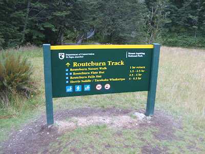
 Sign at the beginning of the track. The track is located in the Southern Alps of New Zealand. It is 38km's long, today we covered 20km's of it...a hard 20km's
 One of 19 rope bridges we crossed,
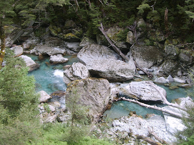
 We loved the colour and the clarity of the water in the Southern part of New Zealand

 Jenn taking her time crossing another bridge
 Amazing water colour
 Walking in the Alpine Meadow

 We went to the Falls Hut, 350m in 45 minutes, what a climb
 Another rope bridge
 Our guide walking along the cliffs with other from our group, ironically enough he was a Canadian
 View across the meadow
 View from the Falls Hut area, we hiked through the right side
 Routeburn Falls
 Jim at Routeburn Falls, What a view
 This photo is interesting because you can see where the sub-tropical rain forest and the Alpine forests meet
 Routeburn Falls
 Jenn at Routeburn Falls

No comments:
Post a Comment